


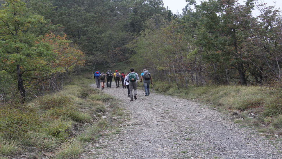
TREKKING, ESCURSIONISMO, SCIALPINISMO

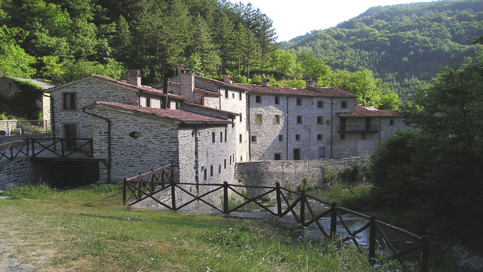
This is the longest and most challenging of the routes suggested, but it passes through a landscape of great beauty and historical points of interest. It starts from the old fulling mill (Gualchiere) south of Bagno, along the provincial road SP. 137 which leads to Verghereto, from the left shoulder of a bridge. It is signposted blue/red CAI 177 and 181, Val di Bagno Trek, Cammino di San Vicinio. We go down the narrow valley and pass through the village of the old mill (Gualchiere) (510 asl). The road runs along the river then – alongside a trellis – it climbs on the right through a small wood with paved sections and soon comes to the confluence of the streams that give rise to the river of Gualchiere. Then we cross a stone bridge over the Capanno River.
We set off southbound from Bagno di Romagna by car along the provincial road SP. 138. We travel for 1 km to a fork where we take the SP.142 (formerly the SS.71) on the right, which goes to Tuscany and the Casentino area, on a spectacular journey along the hairpins of the "Mandrioli Road", enjoying a magnificent scenery.
The opening of the bicycle and pedestrian track between Bagno di Romagna and San Piero in Bagno offers the possibility of a unique round trip between the two towns and the Sanctuary of Corzano. A simple stroll, also ideal for summer evenings, which starts at Bagno di Romagna beside the "Pizzeria Invito" on the left bank of the Cappella River (496 asl). Following the blue/red signs of the CAI 193b trail from here and the information boards of the "Cammino di San Vicinio" (Way of San Vicinio) along the ashphalted uphill road for about half a kilometre you reach the Palazza hillock in the midst of the houses.
Gualchiere(518) - Poggio Alto(850) - Nasseto(896) - Passo Serra (1149). From Bagno take southward the prov road 138; 200 m after the crossing with the national road 71, take the dirt road leading to Gualchiere.
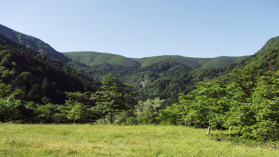
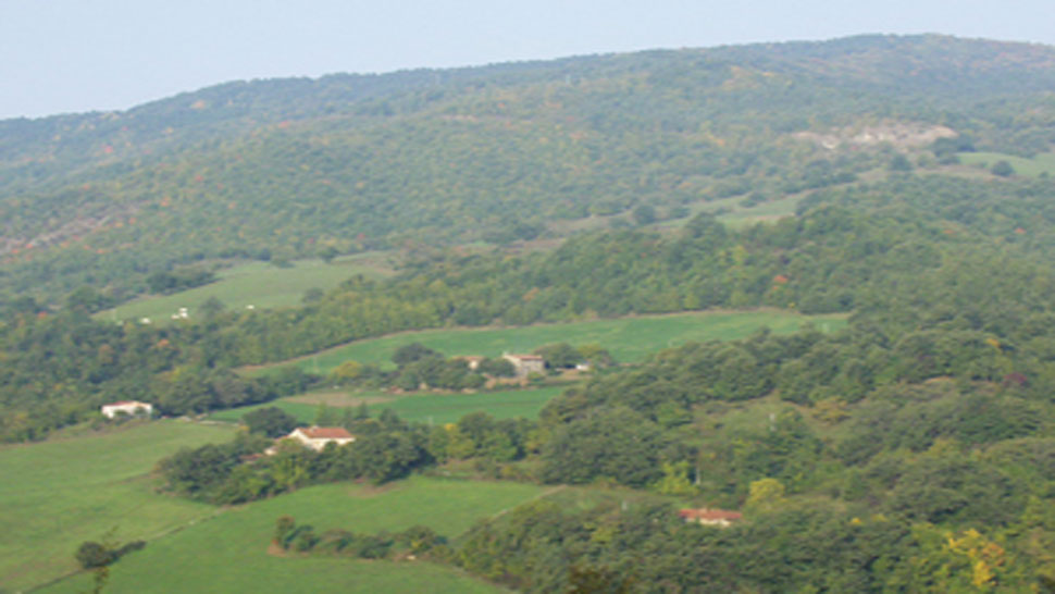
This excursion is demanding as much as it is picturesque. It passes almost entirely through the finest unspoilt region of the municipal area of Bagno di Romagna that forms a part of the Parco Nazionale delle Foreste Casentinesi. It goes through the very essence of the Park, unforgettable for the beauty of the places visited, the picturesque scenes and atmospheres of the forest and the deafening silences broken only by echoes or the roar of falling water.
Alongside the parish church of San Piero in Bagno (466 asl) we find the first blue/red signs of the CAI 193 trail and the "Cammino di San Vicinio" (Way of San Vicinio) which climbs toward the Sanctuary of Corzano. About one hundred metres further up we take the mule track on the left, restored by the "Il Faro di Corzano" association, and up we go. It is punctuated by bronze stations of the Via Crucis by the artist Carmelo Puzzolo.
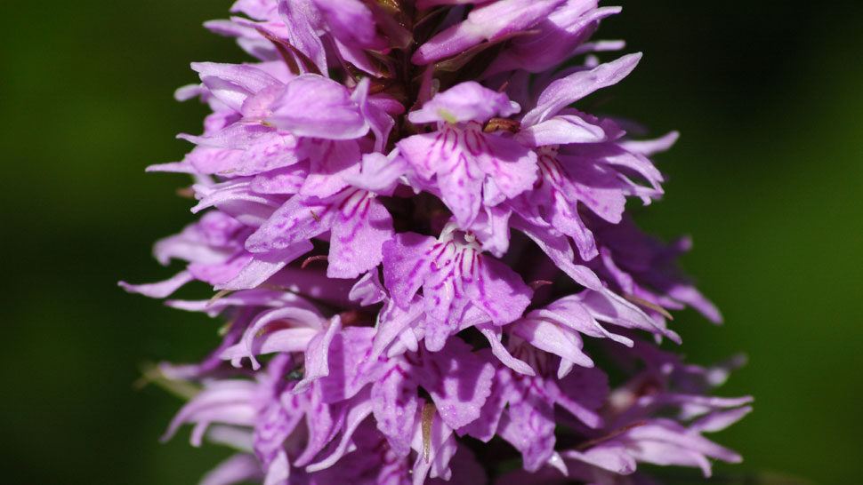
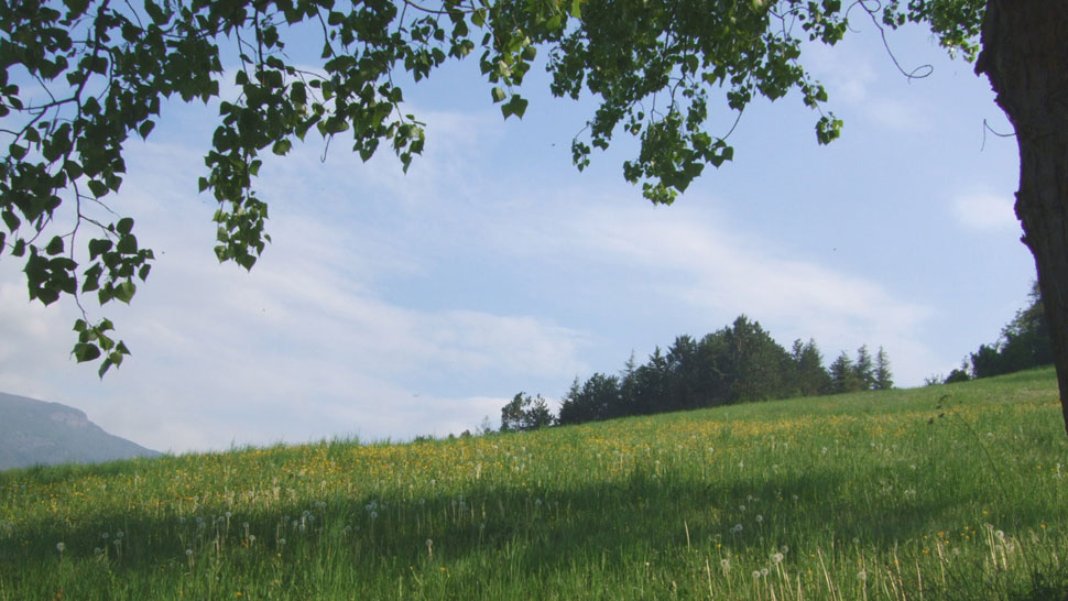
This trail is packed with picturesque scenes and panoramic views which are made even more beautiful in the late spring by various wild orchid species in blossom and– if you are lucky – encounters with roe deer in any season.
Just outside the residential area of Bagno di Romagna (494 asl) toward the south and at the side of the provincial road SP. 138, a stone on the right marks the beginning of the "Mulattiera di Pietrapazza" (Pietrapazza Mule Track) which leads to far off Ridracoli.
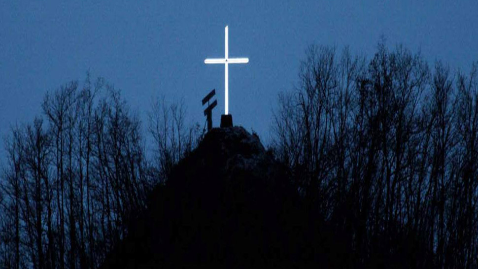
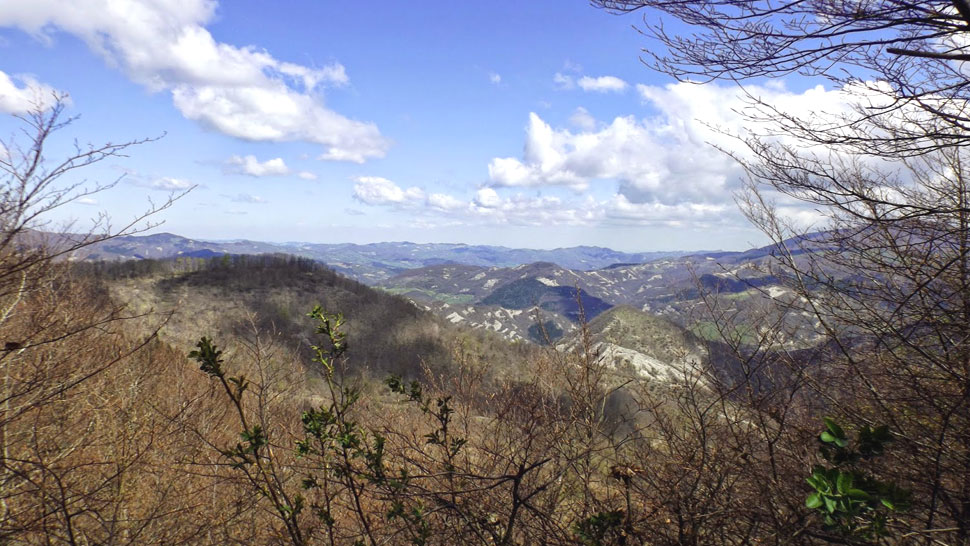
A cross stands at the top of a steep hill to the south of Bagno di Romagna overlooking the town, one of the many crosses that were set up to sanctify the land. It is most noticeable at night when illuminated and has a reassuring effect on the onlooker. The hilltop on which it stands is known as the "Vetta della Croce" (Hilltop of the cross) (763 asl). From here a picturesque panoramic view can be enjoyed which certainly more than repays the modest effort required to make the climb.


 Facebook
 Instagram
 Youtube