


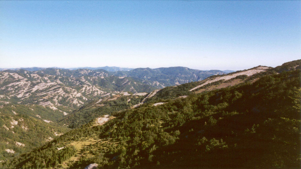
This area covers roughly 500 acres in the area between Mount Zuccherodante (1127) and Poggio Lombardone (1274), between the SP. 138 Mandrioli Pass road and the trail of Passo di Serra, and drops dramatically down into the rifts of Capanno and Racetto.
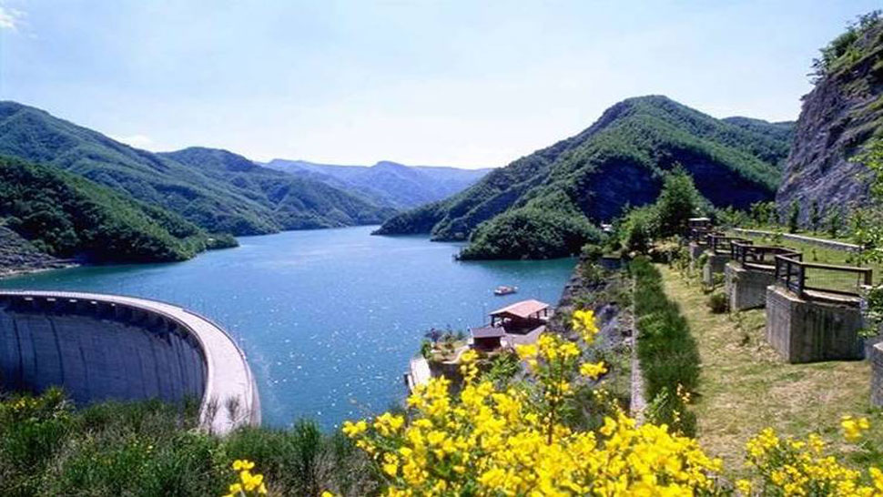
The massive work, completed in 1982, is a half-moon of reinforced concrete, high 103.5 meters long and 432 meters which prompted the Bidente Ridracoli dam to form a Lake 100 hectares at an altitude of 557 slm meters.
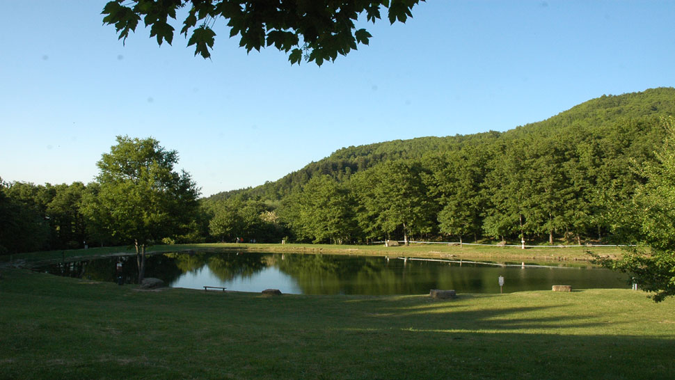
Lago dei Pontini (748 m asl) and Lagolungo (616 m asl) are located on the slopes of Mount Còmero.
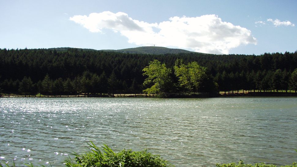
The Acquapartita lake is completely surrounded by greenery, on the slopes of Monte Comero, and extends for 4 hectares.
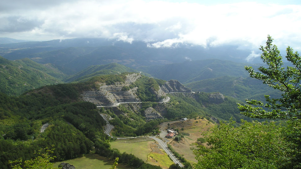
The 11 km of the SP. 142 road (ex SS. 71) that lead from Bagno di Romagna to the Mandrioli Pass (1178 m asl) are a spectacular journey through geology and nature.
A forest trail passes along the whole length of this small forgotten valley of the Bidente river at Pietrapazza and allows you to immerse yourself in a natural and human fresco contained in the Romagna region of the National Park of Casentino Forests that is both fascinating and ever changing.


 Facebook
 Instagram
 Youtube