

Lago dei Pontini e Lagolungo
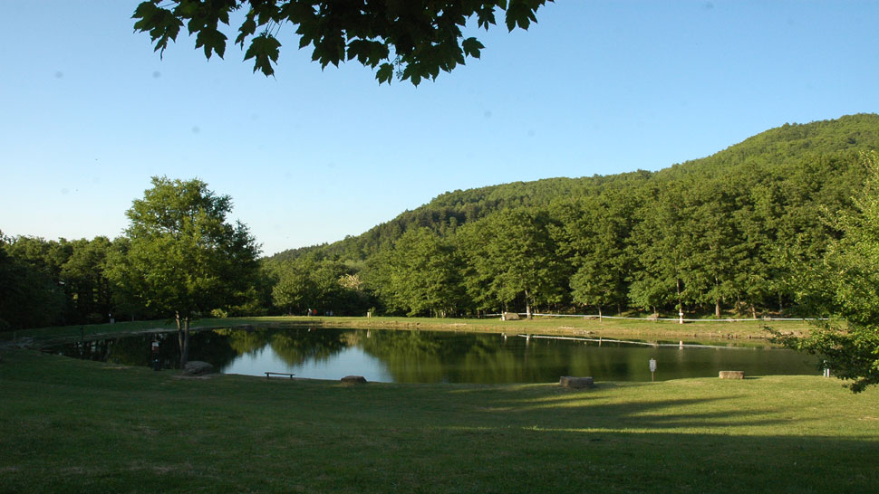
Lago Pontini and Lago Lungo
Lago dei Pontini (748 m asl) and Lagolungo (616 m asl) are located on the slopes of Mount Còmero. Both these lakes were formed when a huge landslide broke from San Cataldo, on the north-western slope of Mount Còmero in 1855. The slow descent of the landslide took with it about fifty homes in the village of Baroncioni and the church of Crocesanta before reaching the Savio river and temporarily barring its course. The lakes are surrounded by an old chestnut wood with many centuries-old trees. Today the lovely lakes – the larger one is the “Lago dei Pontini” (2.5 hectares) – which are bordered by ancient chestnut woods and lush vegetation are ideal spots for recreation and relaxation. There are bars and restaurants offering local specialties, picnic areas and paths permitting a healthy walk or a ride on horseback or mountain-bike. You can use a variety of angling techniques to fish for trout, carp, tench or pike throughout the year and there are angling courses and competitions.
From Bagno di Romagna take the SP. 138 road towards S. Piero in Bagno then turn right at a bridge over the Savio River to take the SP. 43 road towards Alfero. At the signpost at km 3.5 turns right to get to Lagolungo (1.5 km) and then continue on to Lago Pontini (2 km).


 Facebook
 Instagram
 Youtube