


ITINERARI A CAVALLO

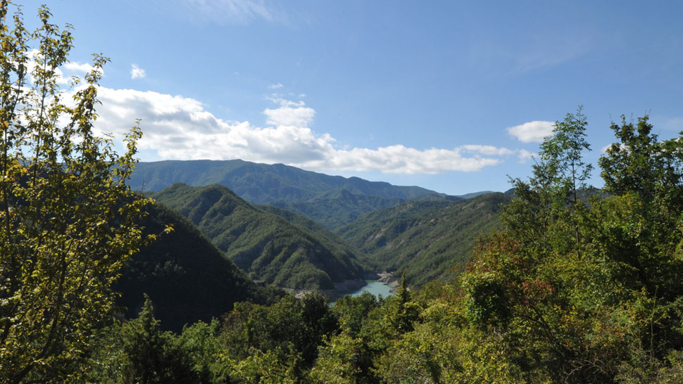
It is an itinerary full of suggestions and panoramas a journey into the memory of a place - the high valley of Bidente di Pietrapazza and the vallecola of Rio Salso that man has abandoned for some time but where there are still signs of his fatigue that has domesticated the valley and its river.
It is a path that takes place along the secondary ridge and in the fertile rests that slope towards the river Savio, in a countryside that is an inlay of fields and woods, of farms and hamlets still inhabited. It starts from Piero in Bagno, along Via Verdi that from Piazza Allende reaches the nineteenth-century stone bridge over the Rio di Paganico. Go past it and take the mule track on the left that goes up the side of the municipal road that leads to the fraction of Paganico and Rio Salso.
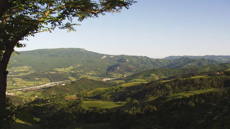
We will take a long excursion around Mount Còmero: domestic mountain, between the towns of Bagno di Romagna and Verghereto, whose imposing size connects the territory of the upper Valle del Savio and is a constant reference point.
From S. Piero in Bagno you reach Via Verdi, which from Piazza Allende reaches the nineteenth-century stone bridge on the Fosso di Paganico. Go over it and take the mule track on the left that goes up to the municipal road, for long stretches of asphalt, which leads to the fraction of Paganico and Rio Salso.


 Facebook
 Instagram
 Youtube