


CAPPELLE, ORATORI, TABERNACOLI

This wayside shrine is located next to the bridge at Fosso del Capanno on the track that goes from Bagno, through le Gualchiere, to Passo Serra (the "Val di Bagno Trek" and CAI Path No. 177). Also known as the "Shrine of Lorenzo Birbone", it has appeared in documents at least since the end of the seventeenth century.
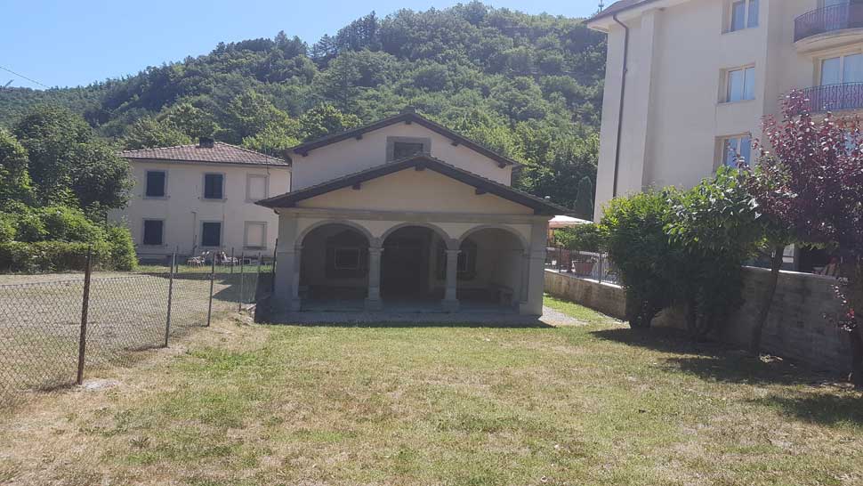
his Oratory is located on Via delle Grazie, shortly beyond the eighteenth-century bridge over the Rio torrent. Nothing is known as regards the construction or the founder of the Oratory, however, we do know that by the first half of the eighteenth century this small church already bore the name of "S. Maria delle Grazie" (Our Lady of Grace) or "S. Maria del Soccorso" (Our Lady of Succour) and in 1826 comprised a sacristy, pantry, workshop, vegetable garden, and kitchen with two bedrooms on the first floor.
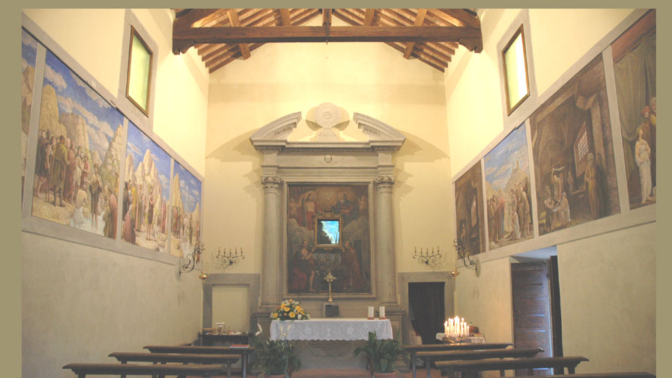
The oratory is set on the right bank of the Fosso della Cappella, a tributary of the Savio River. It was built after a sermon by friar Antonio Carlo Borromeo from Padua during which he stated that "the image of the Blessed Virgin placed along the Savio river was in great danger of being swept away by the river" and invited the population to protect it.
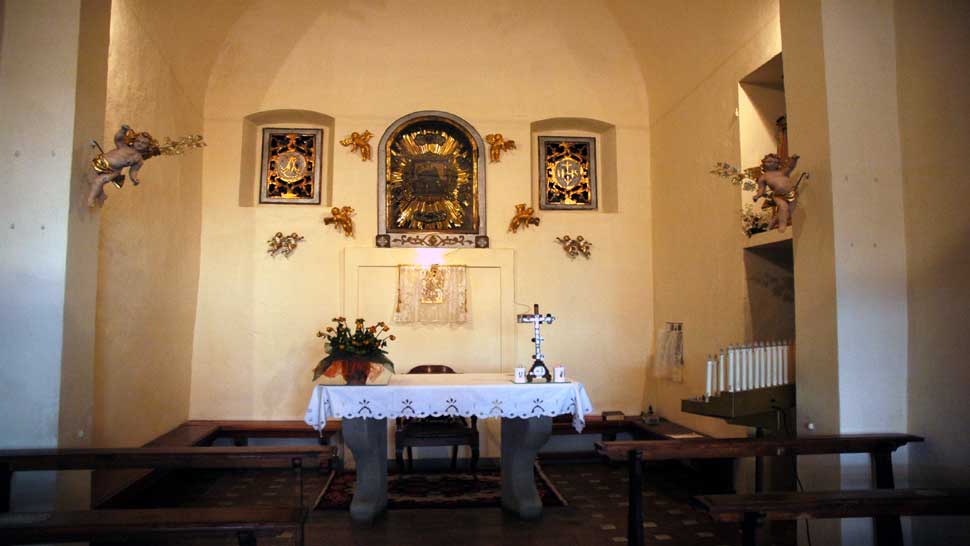
This oratory dedicated to Saint John the Baptist was founded by Don Ortensio Spighi and consecrated on April 29, 1655. It was under the parish of St. Piero in Bagno and was patronage of the Spighi family. It is located at the top of Via Verdi and used to be outside the walls that once surrounded the town of S. Piero in Bagno, beyond the old gate of Santa Trinità (the Holy Trinity), situated between the Market Square (now Piazza Allende) and the upper area of the town known as the "Sommo al borgo". The architecture is Tuscan.
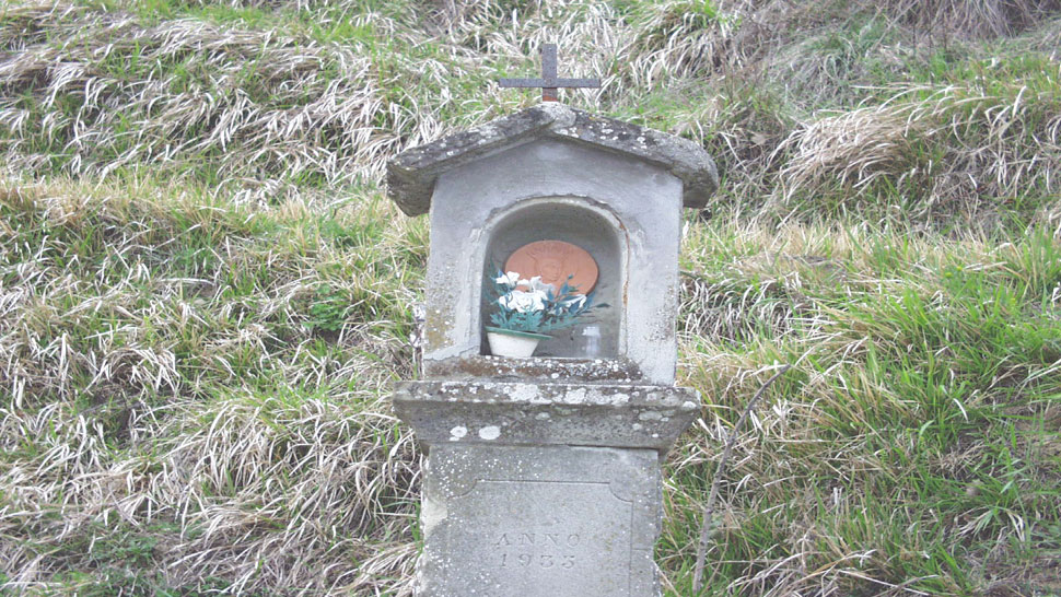
It is a pillar, tall and slender, with only one finely worked hollow with overlapped cell or niche - now empty - once overlapped by an iron cross.
E' posta lungo la mulattiera selciata che da S. Piero in Bagno in poco più di 1 km reca al Santuario di Corzano.
It is located along the old municipal mule track that from the first bridge along the road of the Mandrioli goes up the valley formed by Fosso di Becca and comes near Mount Carpano (CAI path 185).
It is located along the mule track that from S. Piero in Bagno led to Rio Salso, shortly after the Monte Piano crino.
It is placed along the SP. 26 which from S. Piero in Bagno leads to S. Sofia, in the hamlet of Monteguidi, and indicates the junction towards the nearby parish church of S. Maria di Monteguidi.
It is along the forest track that leads from Poggio alla Lastra to the abandoned church of Pietrapazza (10 km).
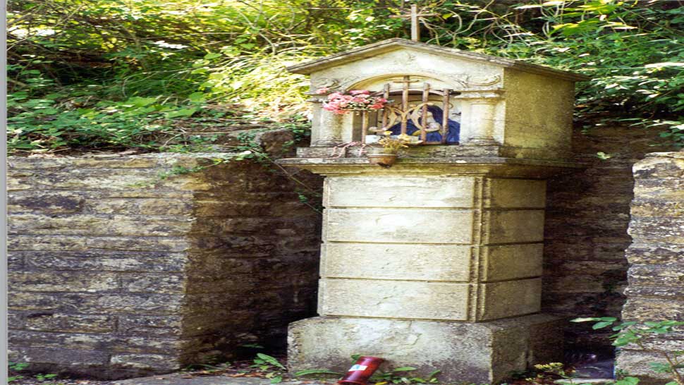
Located on the hill of Corzano, along the mule track that climbs from S. Piero in Bagno, it is a valuable artefact in pietra serena, the work of local stonecutters.
It is located in a fenced flowerbed along the SP. 43 that from S. Piero in Bagno leads to Alfero, at km 3, at the junction with the local road to the Fattoria Ca 'di Gianni.
The majesty is placed near the ruins of the Trogo farm (638 m asl), along the mule track that from Ponte Bottega, in the Pietrapazza valley, rises to Casanova dell'Alpe (971 m asl) for the Molino della Cortine (Sentiero CAI 211 ).
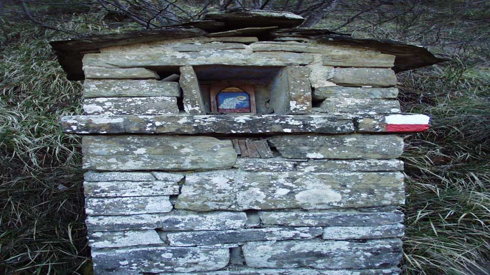
Already documented in the sixteenth century, it is pilastered, squat and massive, stacked with stones just rough-hewn, the horseshoe-shaped niche covered by slabs stuck with large stones.
It rises along the mule track that connected the parish of Ridracoli to that of S. Paolo in Alpe (Sentiero CAI 233).
It is located on the ridge between the Fosso di Riodolmo valley and the Valle del Bidente, along the mule track that leads from the underlying church of Pietrapazza to the Eremo Nuovo (Sentiero CAI 205).
Located on the side of the "small" Bidente valley, along the historic trail that leads from Bagno di Romagna to Pietrapazza (Sentiero CAI n ° 209 and Sentiero della Val di Bagno Trek ").
It is located along the path "Ponte di Becca - Poggiaccio" of the Val di Bagno Trek (CAI Path n. 185), which from the first bridge along the road of the Mandrioli goes up the valley formed by Fosso di Becca, and arrives near Monte Carpano.


 Facebook
 Instagram
 Youtube